
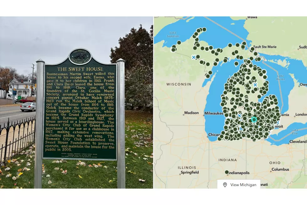
Find Michigan’s 1,800+ Historical Markers With This Awesome Map
You've like seen them all around the state, whether you've been looking for them or not: those green historical markers highlighting important landmarks associated with Michigan history. As a history nerd, I always read these whenever I come across them because this is what the smart people have deemed as the information to know about that place.

These historical markers tend to (but not always) line up with tourist areas, and I've always wanted to find more of these. Well, I did some digging, and it turns out that not only is there an incredibly helpful map, but there are also way more of these historical markers than I realized.
Michigan Historical Markers Map
Since 1955, the Michigan Historical Marker Program has commemorated over 1,800 historical markers across Michigan, and curiously there are also markers in Indiana, Kentucky, Maryland, Tennessee, and France (yes, France. Here's why).
READ MORE: Historic Sweet House in Grand Rapids Earns State Recognition
Thanks to Michigan's Department of Natural Resources (DNR), finding these many markers is surprisingly easy, once you know how. CLICK HERE TO HEAD TO THE INTERACTIVE MAP.

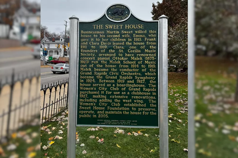
The best way is to use its interactive map, which includes a photo of each marker, its name, and the address where to find it. For each marker, it even provides the text featured on it, so you can learn about a place without having to be there in person. If we utilized our Sweet House example from earlier, here's how things would look.

So whether you're curious about our state's history or planning a road trip, the Historical Marker map is something worth bookmarking.
20 West Michigan Businesses That Are Over 100 Years Old
Gallery Credit: Tommy McNeill
The Original Logos of Michigan's Most Well Known Brands
Gallery Credit: Tommy McNeill
