
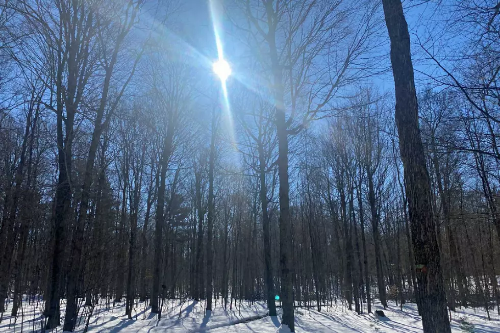
Sunshine Shortage: First Week of April Was the Cloudiest Ever!
The sun has been playing hard to get lately. It's been hiding so much, that we actually set a record!
The National Weather Service has declared that the first week of April was the cloudiest start we have ever had in our fourth month of the year. We only had 7% of possible sunshine the first 10 days of the month of April this year.
The National Weather Service went even more in depth with the bad news, telling us...
"Over the last 3 weeks we've seen only about 18% of the total possible sunshine, with only two of those days (3/20 and 3/28) having over 50%. There were 13 days when less than 10% was observed."
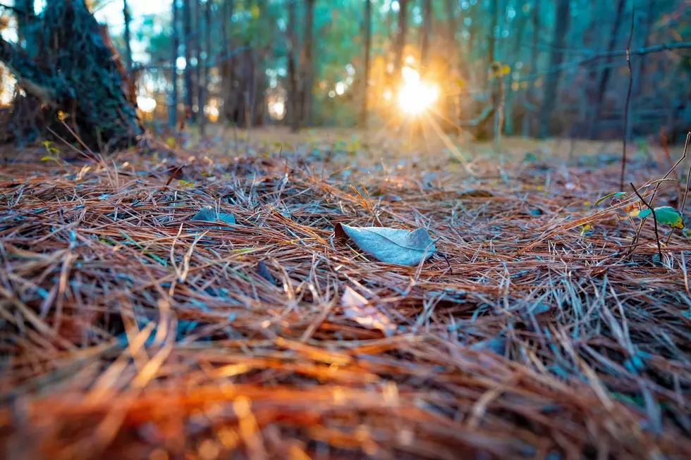
At least we had some sunshine on Sunday. I saw many people out working in their yards, getting them ready for spring. We will see some glimpses of the sun this week as well.
This week looks pretty good for the start...
It will definitely be nice to hit that 70° possibly on Wednesday, but enjoy the beginning of the week. It looks like temps drop back into the 40s for the rest of the week. Next weekend is looking like we will have partly sunny skies on Saturday with a high near 50°, and then a chance of rain and many snow (oh geez, there's that "S" word again) and a high of 49° for Easter Sunday.
How warm should it be this time of year?
The average high temperature for Grand Rapids for this time of year is in the mid to upper 50s. It can still get cold for nighttime lows this time of year. The average low for mid-April is in the mid 30s.
How does the rest of the month look?

Looking at the 8-14 day temperature outlook puts us in the higher probability of below normal temperatures through the 24th of the month. It also puts us in a higher percentage for above normal precipitation for that same time period, meaning the last few weeks of the month could be cold and rainy.

What could the next couple of months bring?


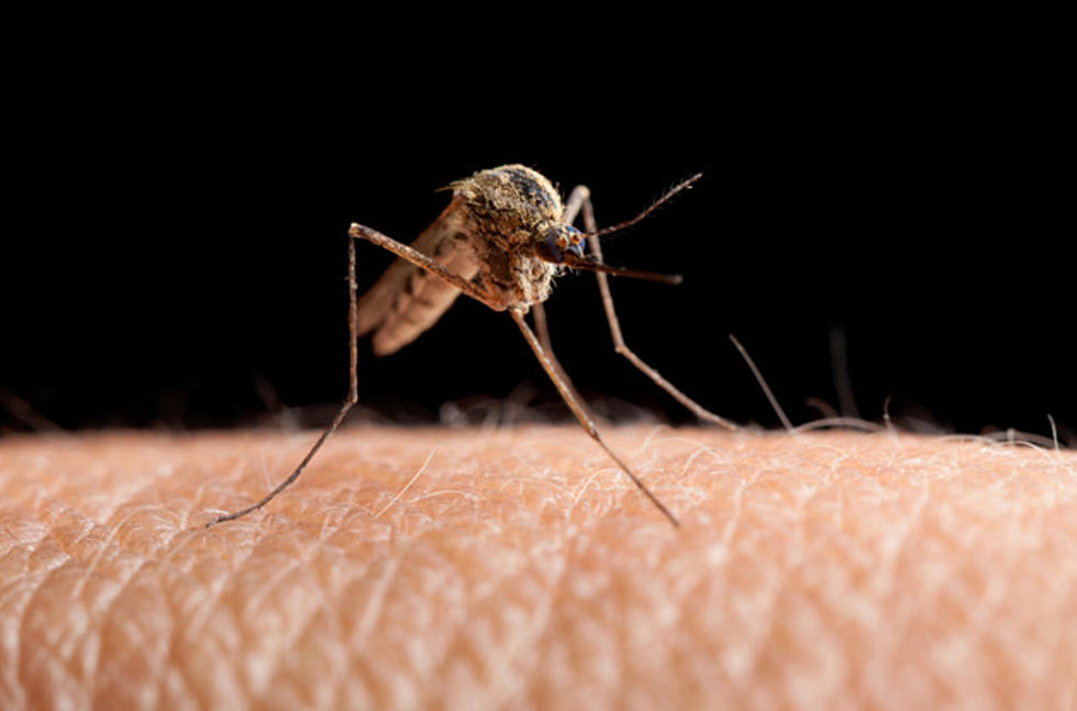
Looking at the period of April through June, the National Weather Service is giving southwest lower Michigan in a 40-50% probability of above normal temperatures, but for that same timeframe, it is giving us a 50-60% probability of above average precipitation, so it looks like overall spring could be warmer and wet...just what the mosquitoes will love!
KEEP READING: Get answers to 51 of the most frequently asked weather questions...
LOOK: The most expensive weather and climate disasters in recent decades
Gallery Credit: KATELYN LEBOFF
More From Magic 104.9
![The Gloomy Weather in Grand Rapids is Actually Really Beautiful [Photos]](http://townsquare.media/site/44/files/2020/05/cloudsdowntown2.jpg?w=980&q=75)