
Winter Weather Advisory Monday Evening Through Tuesday Morning
The National Weather Service has issued a Winter Weather Advisory for portions of southwest, central, west central, and south central Michigan 5p.m. Monday, November 29th through 3a.m. Tuesday, November 30th.
The advisory incudes the cities of Grand Rapids, Ionia, Big Rapids, Mount Pleasant, Muskegon, Greenville, Grand Haven, Jenison, Ludington, Baldwin, Reed City, Clare, Hart, Fremont, Alma, St. Johns, Hastings, Charlotte, Lansing, and Jackson

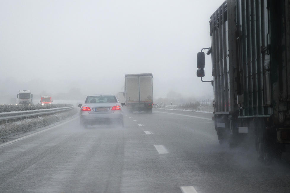
Snow, possibly heavy, is expected tonight. Total snow accumulations should be around 1 to 3 inches, though more is possible in some areas.
NWS says the bulk of the snow will likely fall in a three to four hour period. We should plan on slippery road conditions heading home from work, with the most hazardous conditions coming at the tail end of the evening commute.
The high for today is 40 degrees, and tonight it could drop to 29 degrees.
According to Wood TV 8, tomorrow is our best chance for a dry day this week, with a high around 40 and sunshine possible. We'll see warmer temperatures in the mid to upper 40s Wednesday and Thursday.
Check It Out: A Look At Grand Rapids From Up High
More From Magic 104.9